In 1850, there were no roads in the
Salmon River area; early miners and traders built trails. From
roughly 1850-1860, the route to the South Fork of the Salmon from Shasta was
via Coffee Creek, down the upper South Fork past Big Flat and Big Bend.
About 1860, the Oregon Trail over Scott Mountain was completed, connecting
Scott Valley and Trinity Center. As a result, travel to the South Fork
Salmon and the Klamath communities was diverted to the easier Jackson
Creek/Trail Creek/East Fork route. Callahan’s Ranch in Scott Valley became
principal freight depot serving the communities in the Salmon area.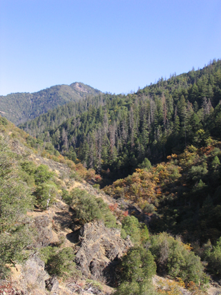 Lower Black Bear Trail
The machinery for the early Black Bear Mine had been brought in by pack train from Trinidad on the Humboldt coast. Indian women carried some of the machinery in pack baskets over the cut-off trail up the Klamath River canyon. In 1873, Deacon Lee completed the trail that carries his name when he brought in a 16-stamp mill to Black Bear Mine. Shortly after 1884, George Spooner put in a trail from Summerville to Callahan that cut 10 miles off of the route up the East Fork to Callahan. This route was called the Spooner Trail, and ran up Rush Creek, cut over the divide, down the South Fork of the Scott River to Jackson, and then joined the main trail to Callahan. This trail was negotiable during the summer months only. It was over this trail that Spooner brought in much of the heavy equipment that was to work in the Summerville/Petersburg area well into the 20th century.
In 1891 a road was completed over Salmon Mountain, connecting Sawyers Bar and the North Fork communities with Etna. In 1895, John Daggett put in the road connecting Sawyers Bar and Black Bear Mine. At one time the mine supply route went from Sawyers Bar to Black Bear to King Solamon. Three day trip each way.
As late as about 1897, there were no roads from Happy Camp to Orleans and up the Salmon to Sawyers Bar, and as late as June, 1904, there still were no roads connecting Orleans and Witchipec.
In 1936, the CCC constructed Ishi Pishi Bridge across mouth of Salmon River. (It washed out in the flood of 1964.) In 1937, the CCC's constructed two bridges at Forks of Salmon and began the South Fork Salmon Road. They completed the road to St. Claire Creek in 1941. The road to Rush Creek was already in place at that time, but I found no details on that road. In 1942, the CCC constructed 4.3 miles of road further up the South Fork, and at some point the road was cut to Shadow Creek. But it was not until the 1960s that the road was completed over the East Fork, connecting Cecilville and Callahan.
Roads in the Salmon River drainage and in Siskiyou County have been of concern for a good part of the 20th century, with a secession movement in 1941 fueled by local discontent about the inadequacy of the road system and its servicing.